Premium Badge Download on the App Store Get it on Google Play Turn-by-turn Navigation Offline Maps Bike Type Optimized Routing Premium Maps Custom Bike Computer Export Routes Route Previews Fall Detection Premium Support

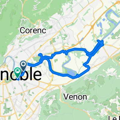
Cycling Route in La Tronche, Auvergne-Rh么ne-Alpes, France

Grenoble - Pointe du Raz

1
Open this route in the Bikemap app

Open this route in the Bikemap app

Open this route in Bikemap Web

Open this route in Bikemap Web

1419 km
Distance
854 m
Ascent
1009 m
Descent
-:-- h
Duration
-- km/h
Avg. Speed
--- m
Max. Elevation

About This Route

Grenoble - Lac de Paladru - Bords du Rh么ne - Sa么ne - Ch芒lons - Paray-le-Monial - Bords de Loire (Nevers - Orl茅ans - Tours - Angers - Nantes) - C么tes Bretagne Sud - Pointe du Raz

Dur茅e : 1 mois

Festival 脿 Ch芒lons, famille et ch茅ritient茅 脿 Paray, itin茅raire touristique sur la Loire, paysages et falaises en Bretagne.

Customize this cycling route with the Bikemap route planner.

Make it yours!

Did you know? You can use this route as a template in our cycling route planner if you don't wish to start from scratch. Customize it based on your needs to plan your perfect cycling tour.

Open it in the app