Cycling Route in Charleville-Mézières, Alsace-Champagne-Ardenne-Lorraine, France
Voie Verte Trans Ardenne (Charleville-Givet)
0

Open this route in the Bikemap app

Open this route in Bikemap Web
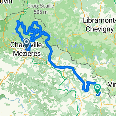
88
km
Distance
Distance
308
m
Ascent
Ascent
355
m
Descent
Descent
-:--
h
Duration
Duration
--
km/h
Avg. Speed
Avg. Speed
---
m
Max. Elevation
Max. Elevation