Cycling Route in Halblech, Bavaria, Germany
Halblech - Um den Tauchberg
1

Open this route in the Bikemap app

Open this route in Bikemap Web
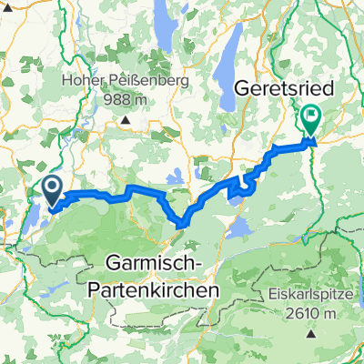
37
km
Distance
Distance
620
m
Ascent
Ascent
620
m
Descent
Descent
-:--
h
Duration
Duration
--
km/h
Avg. Speed
Avg. Speed
---
m
Max. Elevation
Max. Elevation