Premium Badge Download on the App Store Get it on Google Play Turn-by-turn Navigation Offline Maps Bike Type Optimized Routing Premium Maps Custom Bike Computer Export Routes Route Previews Fall Detection Premium Support

Cycling Route in Krimml, Salzburg, Austria

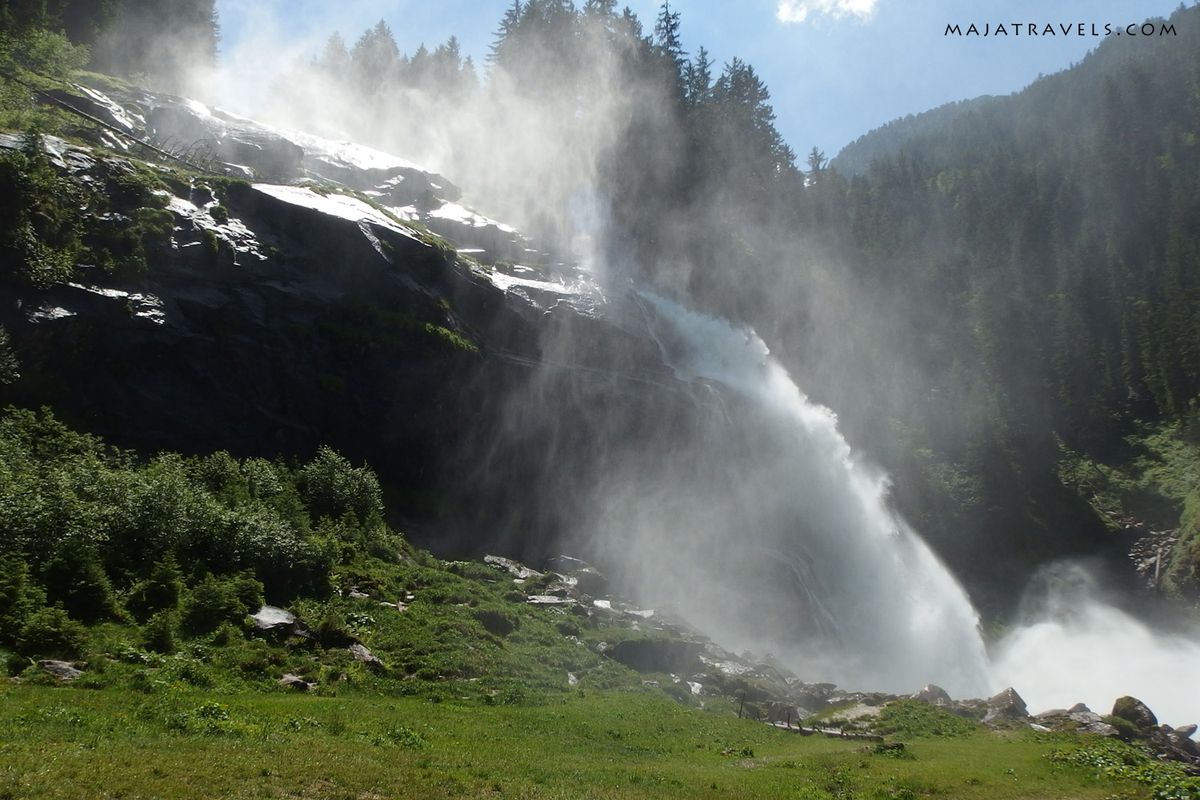
Wald im Pinzgau - Krimml Waterfalls - Königsleiten

4
Open this route in Bikemap Web

Open this route in Bikemap Web

33 km
Distance
945 m
Ascent
1575 m
Descent
-:-- h
Duration
-- km/h
Avg. Speed
--- m
Max. Elevation

About This Route

Round biking trip from the town Wald through the highest waterfall in Austria - Krimml Waterfalls, which has 380 m of height. It goes mainly on paved roads at partly (between Wald and Krimml Waterfalls) through a bike path in a forest. 

The trip was tough between Krimml Waterfalls and Hochkrimml where you go up on a steep road but from Konigsleiten it's great pleasure riding down :)

You can see more photos and read more on my blog: http://majatravels.com/biking-and-hiking-in-kitzbuhel-alps/

This cycling route is ideal for: MTB City bike

You will cycle on the following surfaces: Paved Gravel

Route Photos

Customize this cycling route with the Bikemap route planner.

Make it yours!

You can use this route as a template in our cycling route planner so that you don’t have to start from scratch. Customize it based on your needs to plan your perfect cycling tour.