Premium Badge Download on the App Store Get it on Google Play Turn-by-turn Navigation Offline Maps Bike Type Optimized Routing Premium Maps Custom Bike Computer Export Routes Route Previews Fall Detection Premium Support

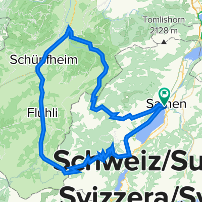
Cycling Route in Sarnen, Canton of Obwalden, Switzerland

47° Nord Tour de Suisse Etappe 8

0
Open this route in the Bikemap app

Open this route in the Bikemap app

Open this route in Bikemap Web

Open this route in Bikemap Web

58 km
Distance
1328 m
Ascent
1064 m
Descent
-:-- h
Duration
-- km/h
Avg. Speed
--- m
Max. Elevation

About This Route

Die Etappe startet in Sarnen und kletter gleich hinter dem Städchen den Berg hinauf zum Glaubenpass. Von der Passhöhe geht es durch eine wunderbare Bergwelt hinunter nach Entlebuch. Von  dort mehr oder weniger flach nach Trubschachen im Emmenthal. Die Route verläuft in grossen teilen auf Asphalt, im Talgrund leider oft entlang der Hauptstrasse.

This cycling route is ideal for: Road bike MTB City bike

You will cycle on the following surfaces: Paved

Route Photos

Customize this cycling route with the Bikemap route planner.

Make it yours!

Did you know? You can use this route as a template in our cycling route planner if you don't wish to start from scratch. Customize it based on your needs to plan your perfect cycling tour.

Open it in the app