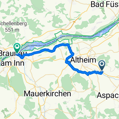
Cycling Route in Altheim, Upper Austria, Austria
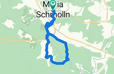
Wanderweg 316, Lackerbauer
0
Open this route in the Bikemap app

Open this route in Bikemap Web
8
km
Distance
Distance
262
m
Ascent
Ascent
264
m
Descent
Descent
-:--
h
Duration
Duration
--
km/h
Avg. Speed
Avg. Speed
---
m
Max. Elevation
Max. Elevation