Premium Badge Download on the App Store Get it on Google Play Turn-by-turn Navigation Offline Maps Bike Type Optimized Routing Premium Maps Custom Bike Computer Export Routes Route Previews Fall Detection Premium Support

Cycling Route in Zernez, Grisons, Switzerland

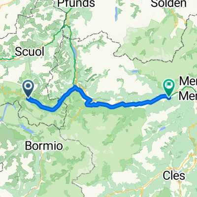
Zernez - Madulain a zpět

0
Open this route in the Bikemap app

Open this route in the Bikemap app

Open this route in Bikemap Web

Open this route in Bikemap Web

42 km
Distance
388 m
Ascent
385 m
Descent
-:-- h
Duration
-- km/h
Avg. Speed
--- m
Max. Elevation

About This Route

Začátek trasy od campu Cul vypadal docela slibně.Po kilometru se ukázalo jak náročné je Švýcarsko.Docela dlouhé stoupání (na naše poměry) a navíc ta unavující šotolina.Z Prazetu jsme museli sjet na silnici a to až k Madulainu byla pohoda.Zpáteční cesta od Madulainu až k  S-chanf rovina a pak zase po šotolině a navíc se třemi nenápadnými výstupy na hlavní Innské cyklotrase až k Zernezu.Taky náročný.

This cycling route is ideal for: MTB

You will cycle on the following surfaces: Unpaved

Customize this cycling route with the Bikemap route planner.

Make it yours!

Did you know? You can use this route as a template in our cycling route planner if you don't wish to start from scratch. Customize it based on your needs to plan your perfect cycling tour.

Open it in the app