Cycling Route in Soulac-sur-Mer, Aquitaine-Limousin-Poitou-Charentes, France
5 Soulac to Sanguinet
0

Open this route in the Bikemap app

Open this route in Bikemap Web
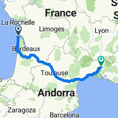
135
km
Distance
Distance
111
m
Ascent
Ascent
106
m
Descent
Descent
-:--
h
Duration
Duration
--
km/h
Avg. Speed
Avg. Speed
32
m
Max. Elevation
Max. Elevation