Premium Badge Download on the App Store Get it on Google Play Turn-by-turn Navigation Offline Maps Bike Type Optimized Routing Premium Maps Custom Bike Computer Export Routes Route Previews Fall Detection Premium Support

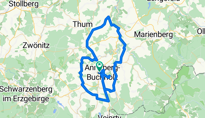
Cycling Route in Annaberg-Buchholz, Saxony, Germany

70 km im Annaberger Umland

0
Open this route in the Bikemap app

Open this route in the Bikemap app

Open this route in Bikemap Web

Open this route in Bikemap Web

70 km
Distance
949 m
Ascent
900 m
Descent
-:-- h
Duration
-- km/h
Avg. Speed
708 m
Max. Elevation

About This Route

Schöne Route mit Start vom Annaberger Markt, selbstverständlich aber auch von jedem anderen Ort auf der Strecke.

Die kurzen Ettapen auf der B 95 sind recht befahren aber auf den Nebenstrassen sieht man kaum Autos.

Ortsreihenfolge:

Annaberg  (via B95) - Königswalde - Geyersdorf - Mildenau - Streckenwalde - Schönbrunn - Drebach - Ehrenfriedersdorf - Tannenberg - Schlettau - Sehma- Annaberg

This cycling route is ideal for: Road bike

You will cycle on the following surfaces: Paved

Customize this cycling route with the Bikemap route planner.

Make it yours!

Did you know? You can use this route as a template in our cycling route planner if you don't wish to start from scratch. Customize it based on your needs to plan your perfect cycling tour.

Open it in the app