Premium Badge Download on the App Store Get it on Google Play Turn-by-turn Navigation Offline Maps Bike Type Optimized Routing Premium Maps Custom Bike Computer Export Routes Route Previews Fall Detection Premium Support

Cycling Route in Bartholomäberg, Vorarlberg, Austria

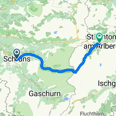
Schruns (Montafon/A) - St. Antönien (Prättigau/CH)

3
Open this route in the Bikemap app

Open this route in the Bikemap app

Open this route in Bikemap Web

Open this route in Bikemap Web

25 km
Distance
1579 m
Ascent
854 m
Descent
-:-- h
Duration
-- km/h
Avg. Speed
--- m
Max. Elevation

About This Route

Von Schrunz knapp 1500 Höhenmeter auf Schotterwegen bis knapp vor die Tilisunahütte. Dort nach links in Richtung Gruobenpass abbiegen. Zunächst durch steiles Felsgelände, später auf einem gut ausgebauten Walserweg hinab zum Partunsee. Ab Partun Schotterweg nach St. Antönien. Relativ einfacher und selten befahrener Übergang ins Prättigau.

This cycling route is ideal for: MTB

You will cycle on the following surfaces: Unpaved Gravel

Customize this cycling route with the Bikemap route planner.

Make it yours!

Did you know? You can use this route as a template in our cycling route planner if you don't wish to start from scratch. Customize it based on your needs to plan your perfect cycling tour.

Open it in the app