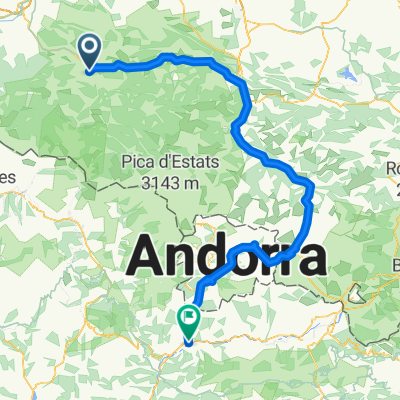
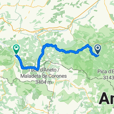
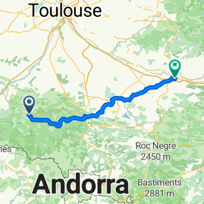
Cycling Route in Saint-Girons, Languedoc-Roussillon-Midi-Pyrénées, France
E-Pyr T4-Massat
0

Open this route in the Bikemap app

Open this route in Bikemap Web
147
km
Distance
Distance
3002
m
Ascent
Ascent
3005
m
Descent
Descent
-:--
h
Duration
Duration
--
km/h
Avg. Speed
Avg. Speed
---
m
Max. Elevation
Max. Elevation