Cycling Route in Glattfelden, Canton of Zurich, Switzerland
Rhein18b Hohentengen-Waldshut rechts
0

Open this route in the Bikemap app

Open this route in Bikemap Web
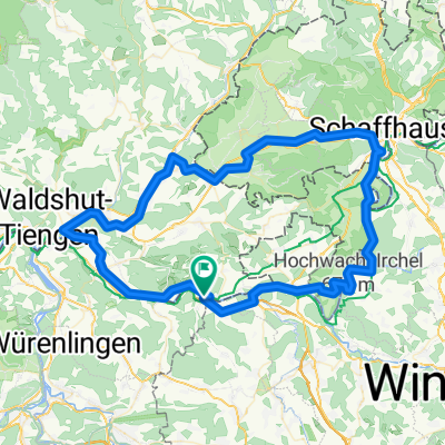
22
km
Distance
Distance
128
m
Ascent
Ascent
164
m
Descent
Descent
-:--
h
Duration
Duration
--
km/h
Avg. Speed
Avg. Speed
---
m
Max. Elevation
Max. Elevation