Premium Badge Download on the App Store Get it on Google Play Turn-by-turn Navigation Offline Maps Bike Type Optimized Routing Premium Maps Custom Bike Computer Export Routes Route Previews Fall Detection Premium Support

Cycling Route in Nantua, Auvergne-Rhône-Alpes, France

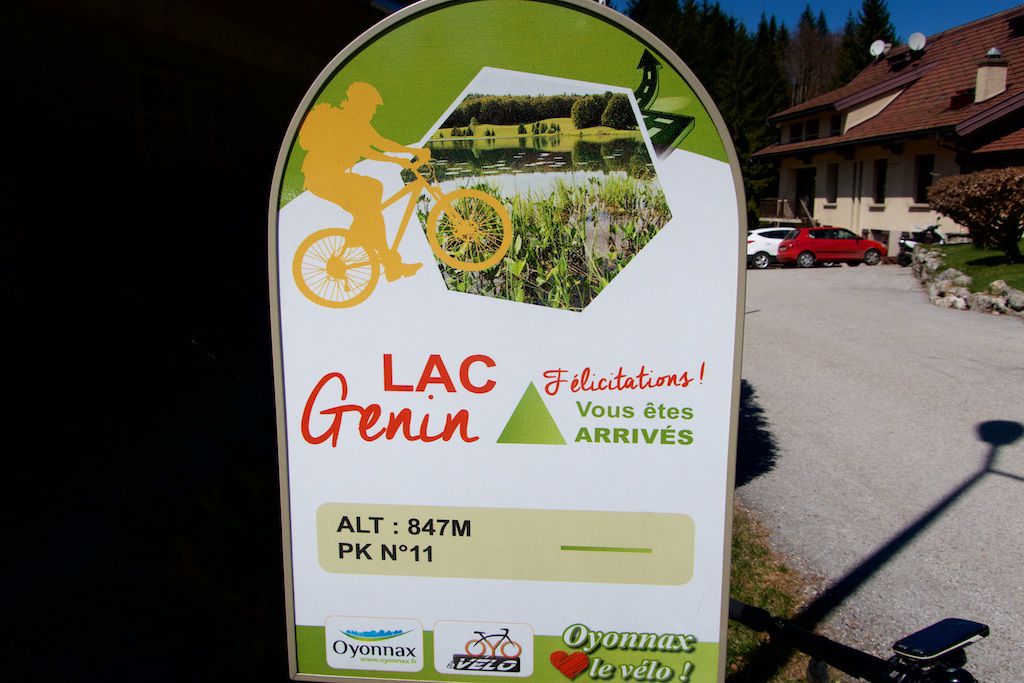
Lac Genin VTT Rouge et Bleue Forest Trails and Col de Sentier

0
Open this route in Bikemap Web

Open this route in Bikemap Web

45 km
Distance
907 m
Ascent
907 m
Descent
-:-- h
Duration
-- km/h
Avg. Speed
--- m
Max. Elevation

Highlights Along The Route

Point of Interest

Col du Sentier

Route Photos

Customize this cycling route with the Bikemap route planner.

Make it yours!

You can use this route as a template in our cycling route planner so that you don’t have to start from scratch. Customize it based on your needs to plan your perfect cycling tour.