Cycling Route in Rothenburg upon Tauber, Bavaria, Germany
2018Mai-Tag2
1

Open this route in the Bikemap app

Open this route in Bikemap Web
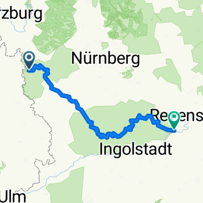
110
km
Distance
Distance
269
m
Ascent
Ascent
288
m
Descent
Descent
-:--
h
Duration
Duration
--
km/h
Avg. Speed
Avg. Speed
---
m
Max. Elevation
Max. Elevation