Cycling Route in Saint-Genis-Pouilly, Auvergne-Rhône-Alpes, France
Route to Fort L'Écluse
2

Open this route in the Bikemap app

Open this route in Bikemap Web
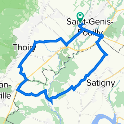
21
km
Distance
Distance
258
m
Ascent
Ascent
217
m
Descent
Descent
-:--
h
Duration
Duration
--
km/h
Avg. Speed
Avg. Speed
608
m
Max. Elevation
Max. Elevation