Premium Badge Download on the App Store Get it on Google Play Turn-by-turn Navigation Offline Maps Bike Type Optimized Routing Premium Maps Custom Bike Computer Export Routes Route Previews Fall Detection Premium Support

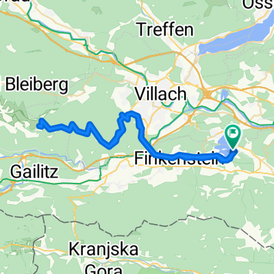
Cycling Route in Wernberg, Carinthia, Austria

Kärnten-Giro 2018-Annenheim-Windische Höhe-Villacher Alpenstraße 160km-3050m

1
Open this route in the Bikemap app

Open this route in the Bikemap app

Open this route in Bikemap Web

Open this route in Bikemap Web

158 km
Distance
2554 m
Ascent
2565 m
Descent
-:-- h
Duration
-- km/h
Avg. Speed
--- m
Max. Elevation

About This Route

Sehr schöne Rundtour auf überwiegend verkehrsarmen Straßen mit einem Abstecher zum Weissensee und als "Schmankerl" zum Tourabschluss noch die Villacher Alpenstraße. Diese ist ein Brett, da sie im zweiten Teil nahezu durchgehend im zweistelligen Steigungsbereich führt und nur wenige Stücke unter 8% zum Erholen hat. Aber die Ausblicke und die flotte Abfahrt entschädigen für die Mühen.

Wir sind die Tour  gegen den Uhrzeigersinn gefahren und haben den Abstecher auf die Villacher Alp als optionale "Erweiterung für die Unersättlichen" gehabt.

This cycling route is ideal for: Road bike

You will cycle on the following surfaces: Paved

Customize this cycling route with the Bikemap route planner.

Make it yours!

Did you know? You can use this route as a template in our cycling route planner if you don't wish to start from scratch. Customize it based on your needs to plan your perfect cycling tour.

Open it in the app