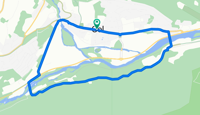
Cycling Route in Gol, Buskerud, Norway
Gol round 1
1

Open this route in the Bikemap app
Open this route in Bikemap Web
6
km
Distance
Distance
351
m
Ascent
Ascent
351
m
Descent
Descent
-:--
h
Duration
Duration
--
km/h
Avg. Speed
Avg. Speed
---
m
Max. Elevation
Max. Elevation


