

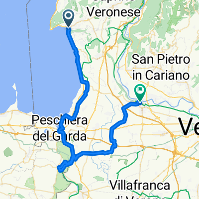
Colline Moreniche
A cycling route starting in Garda, Veneto, Italy.
Overview
About this route
A road bike tour accessible to all to discover the morainic hills reaching Valeggio sul Mincio.
- -:--
- Duration
- 89.2 km
- Distance
- 401 m
- Ascent
- 401 m
- Descent
- ---
- Avg. speed
- ---
- Max. altitude

Route quality
Waytypes & surfaces along the route
Waytypes
Quiet road
25 km
(28 %)
Road
22.3 km
(25 %)
Surfaces
Paved
84.7 km
(95 %)
Asphalt
82.1 km
(92 %)
Concrete
1.8 km
(2 %)
Continue with Bikemap
Use, edit, or download this cycling route
You would like to ride Colline Moreniche or customize it for your own trip? Here is what you can do with this Bikemap route:
Free features
- Save this route as favorite or in collections
- Copy & plan your own version of this route
- Split it into stages to create a multi-day tour
- Sync your route with Garmin or Wahoo
Premium features
Free trial for 3 days, or one-time payment. More about Bikemap Premium.
- Navigate this route on iOS & Android
- Export a GPX / KML file of this route
- Create your custom printout (try it for free)
- Download this route for offline navigation
Discover more Premium features.
Get Bikemap PremiumFrom our community
Other popular routes starting in Garda
 Via Panorama, Costermano sul Garda nach Via Panorama, Costermano sul Garda
- Distance
- 38.6 km
- Ascent
- 990 m
- Descent
- 985 m
- Location
- Garda, Veneto, Italy
 Via Verdi nach Via Europa Unita
- Distance
- 26.2 km
- Ascent
- 436 m
- Descent
- 463 m
- Location
- Garda, Veneto, Italy
 Trainingsrunde mit zwei Hügeln
- Distance
- 22.6 km
- Ascent
- 578 m
- Descent
- 578 m
- Location
- Garda, Veneto, Italy
 Durch das Tal der Mühlen
- Distance
- 12.5 km
- Ascent
- 206 m
- Descent
- 203 m
- Location
- Garda, Veneto, Italy
 Option 1: Gardasee - Bussolengo kurze Variante
- Distance
- 23.2 km
- Ascent
- 241 m
- Descent
- 185 m
- Location
- Garda, Veneto, Italy
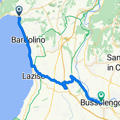
 Garda - Bussolengo
- Distance
- 52.3 km
- Ascent
- 398 m
- Descent
- 343 m
- Location
- Garda, Veneto, Italy
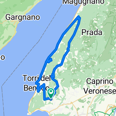
 Garda Fiori del Baldo
- Distance
- 56.8 km
- Ascent
- 1,791 m
- Descent
- 1,795 m
- Location
- Garda, Veneto, Italy
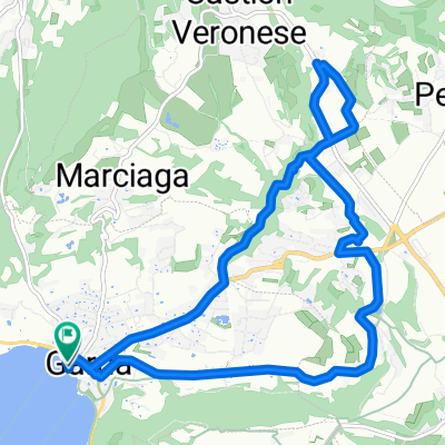
 Le terre del Vino
- Distance
- 42.6 km
- Ascent
- 486 m
- Descent
- 485 m
- Location
- Garda, Veneto, Italy
Open it in the app