Premium Badge Download on the App Store Get it on Google Play Turn-by-turn Navigation Offline Maps Bike Type Optimized Routing Premium Maps Custom Bike Computer Export Routes Route Previews Fall Detection Premium Support

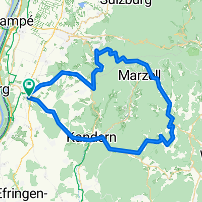
Cycling Route in Schliengen, Baden-Württemberg, Germany

Schliengen-Wiedener-Eck-Fuchswald-Hochkopf-Happach-Scheideck-Schliengen

0
Open this route in the Bikemap app

Open this route in the Bikemap app

Open this route in Bikemap Web

Open this route in Bikemap Web

119 km
Distance
1665 m
Ascent
1665 m
Descent
-:-- h
Duration
-- km/h
Avg. Speed
--- m
Max. Elevation

About This Route

Eine Runde, die man nicht so oft fährt.

Gerade bei heißen Temperaturen schöne Auffahrt durch den Fuchswald auf den Hochkopf und zwei schöne Abfahrten  vom Wiederner Eck und durch den Hinterhag

This cycling route is ideal for: Road bike

You will cycle on the following surfaces: Paved

Customize this cycling route with the Bikemap route planner.

Make it yours!

Did you know? You can use this route as a template in our cycling route planner if you don't wish to start from scratch. Customize it based on your needs to plan your perfect cycling tour.

Open it in the app