Premium Badge Download on the App Store Get it on Google Play Turn-by-turn Navigation Offline Maps Bike Type Optimized Routing Premium Maps Custom Bike Computer Export Routes Route Previews Fall Detection Premium Support

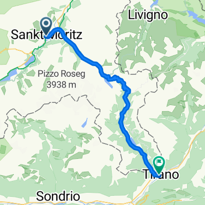
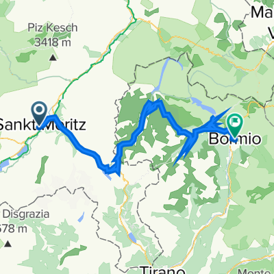
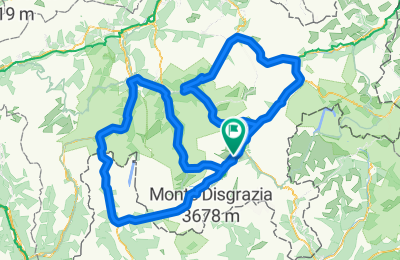
Cycling Route in St. Moritz, Grisons, Switzerland

Schmankerl CH in Tagesetappen

0
Open this route in the Bikemap app

Open this route in the Bikemap app

Open this route in Bikemap Web

Open this route in Bikemap Web

323 km
Distance
5382 m
Ascent
5337 m
Descent
-:-- h
Duration
-- km/h
Avg. Speed
--- m
Max. Elevation

About This Route

Tag 1: St. Morittz - Zernez - Flüelapass (2383m) - Albulapass (2315m) - St. Moritz

(143 km, 2950 hm)

Tag 2: St. Moritz - Malojapass (1815m) - Splügenpass (2115m) - Tiefencastel - Julierpass (2284m) - St. Moritz

(180 km, 4000 hm) = VMTL ZU VIEL

Customize this cycling route with the Bikemap route planner.

Make it yours!

Did you know? You can use this route as a template in our cycling route planner if you don't wish to start from scratch. Customize it based on your needs to plan your perfect cycling tour.

Open it in the app