Cycling Route in Friedrichsdorf, Hesse, Germany
Taunusrunde 29.05.2010
0

Open this route in the Bikemap app

Open this route in Bikemap Web
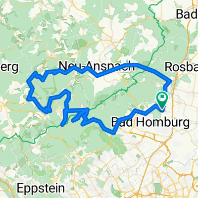
131
km
Distance
Distance
1860
m
Ascent
Ascent
1860
m
Descent
Descent
-:--
h
Duration
Duration
--
km/h
Avg. Speed
Avg. Speed
---
m
Max. Elevation
Max. Elevation