Premium Badge Download on the App Store Get it on Google Play Turn-by-turn Navigation Offline Maps Bike Type Optimized Routing Premium Maps Custom Bike Computer Export Routes Route Previews Fall Detection Premium Support

Cycling Route in Ulvik, Hordaland Fylke, Norway
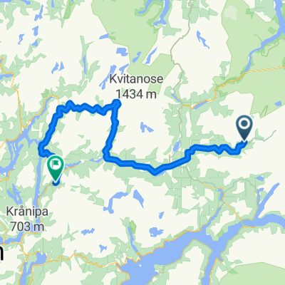
Ulvik - Osa

2
Open this route in the Bikemap app

Open this route in the Bikemap app

Open this route in Bikemap Web

Open this route in Bikemap Web

11 km
Distance
721 m
Ascent
737 m
Descent
-:-- h
Duration
-- km/h
Avg. Speed
--- m
Max. Elevation

About This Route

Hoydeprofilen er ikke korrekt. Det er en tunnel ved ca. 8-10 km som fremstar som en hoy, bratt fjellovergang.

The elevation profile is not correct. There is a tunnel at approx. 8-10 km, which appears as a high, steep mountain pass.

Customize this cycling route with the Bikemap route planner.

Make it yours!

Did you know? You can use this route as a template in our cycling route planner if you don't wish to start from scratch. Customize it based on your needs to plan your perfect cycling tour.

Open it in the app