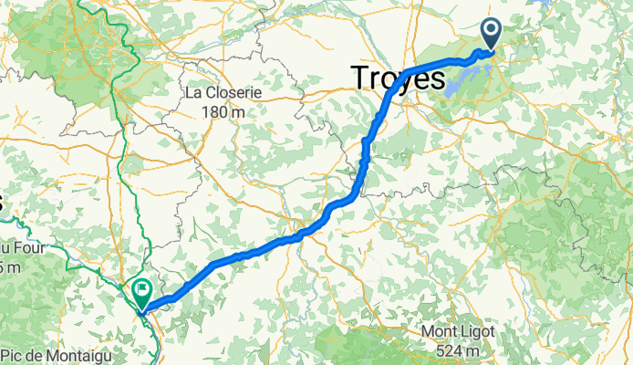
Cycling Route in Brienne-le-Château, Alsace-Champagne-Ardenne-Lorraine, France
Brienne-Bonny-s-L

Open this route in Bikemap Web
Distance
Ascent
Descent
Duration
Avg. Speed
Max. Elevation
Cycling Route in Brienne-le-Château, Alsace-Champagne-Ardenne-Lorraine, France

Open this route in Bikemap Web
wie V4 unten: 184,3km, 1350Hm
Daten ab Diffenbach:
direkt (ü. Chaumont): 403 km, 2970 Hm
V1: ü. Pont-a-Mousson,St.Dizier, Troyes (wenig N): 399 km. 2380 Hm
V2: wie vor ohne St. Dizier: 399 km. 2340 Hm
V3: wie vor, Abk. ab Troyes, Nebenstr ab Auxon-Auxerre, weiter ü.Leugny statt Taucy, dann Fontency: 400km, 2570 Hm
V4 nach Neuvy statt Cosne: 393km,

You can use this route as a template in our cycling route planner so that you don’t have to start from scratch. Customize it based on your needs to plan your perfect cycling tour.