Premium Badge Download on the App Store Get it on Google Play Turn-by-turn Navigation Offline Maps Bike Type Optimized Routing Premium Maps Custom Bike Computer Export Routes Route Previews Fall Detection Premium Support

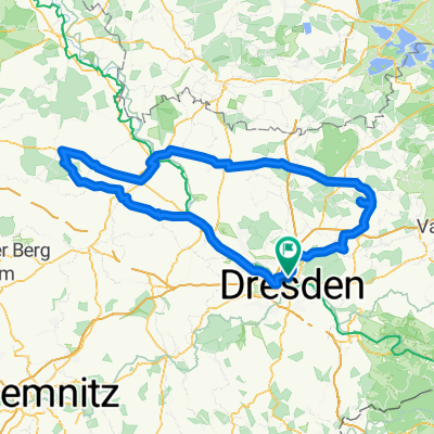
Cycling Route in Dresden, Saxony, Germany

tour 201011 luchberg

5
Open this route in the Bikemap app

Open this route in the Bikemap app

Open this route in Bikemap Web

Open this route in Bikemap Web

67 km
Distance
685 m
Ascent
685 m
Descent
-:-- h
Duration
-- km/h
Avg. Speed
--- m
Max. Elevation

About This Route

Durch Plauen Richtung Kaitzer Höhe, kurz entlang alter Bahntrassen und weiter zur Dippoldiswalder und Hirschbacher Heide zum Luchberg. Danach weiter Richtung Süden bis zum Wendepunkt am Breiten Berg nach Dippoldiswalde, entlang der Malter-Talsperre über Landstraßen ins Tal der Wilden Weißeritz und über Tharandt/Freital zurück.

This cycling route is ideal for: MTB

You will cycle on the following surfaces: Paved Unpaved Gravel

Customize this cycling route with the Bikemap route planner.

Make it yours!

Did you know? You can use this route as a template in our cycling route planner if you don't wish to start from scratch. Customize it based on your needs to plan your perfect cycling tour.

Open it in the app