Premium Badge Download on the App Store Get it on Google Play Turn-by-turn Navigation Offline Maps Bike Type Optimized Routing Premium Maps Custom Bike Computer Export Routes Route Previews Fall Detection Premium Support

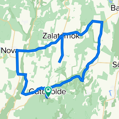
Cycling Route in Lenti, Zala, Hungary

Átkötés Lenti és Letenye között hegyes verzió

0
Open this route in the Bikemap app

Open this route in the Bikemap app

Open this route in Bikemap Web

Open this route in Bikemap Web

37 km
Distance
244 m
Ascent
262 m
Descent
-:-- h
Duration
-- km/h
Avg. Speed
--- m
Max. Elevation

About This Route

Az átkötésben ízelítőt kaphatsz az igazi zalai tájból, dombokból, és Bázakerettyén megnézheted az 1930-as években alakult olajfúró-falut, típus-lakóházaival, csodálítos nyugalmával.

This cycling route is ideal for: City bike

You will cycle on the following surfaces: Paved

Customize this cycling route with the Bikemap route planner.

Make it yours!

Did you know? You can use this route as a template in our cycling route planner if you don't wish to start from scratch. Customize it based on your needs to plan your perfect cycling tour.

Open it in the app