Premium Badge Download on the App Store Get it on Google Play Turn-by-turn Navigation Offline Maps Bike Type Optimized Routing Premium Maps Custom Bike Computer Export Routes Route Previews Fall Detection Premium Support

Cycling Route in Öhningen, Baden-Württemberg, Germany

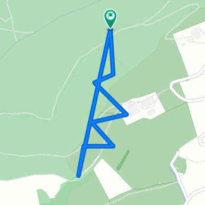
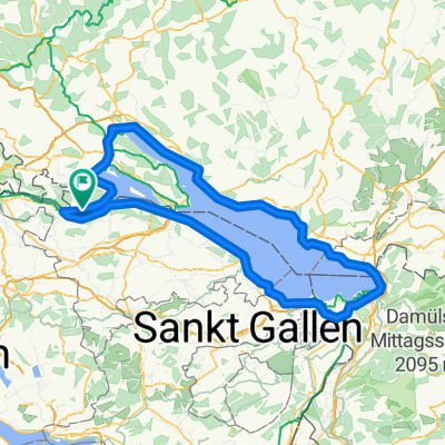
Schienerberg über Riedern

0
Open this route in the Bikemap app

Open this route in the Bikemap app

Open this route in Bikemap Web

Open this route in Bikemap Web

19 km
Distance
339 m
Ascent
339 m
Descent
-:-- h
Duration
-- km/h
Avg. Speed
--- m
Max. Elevation

About This Route

Am Anfang relativ flach, leichte Steigungen in Stein a.Rh.,flach bis Ramsen, danach bis oberwald Steigung auf befestigtem Waldweg mit Schotter, Steigungen zwischen 2 und 10 %, ab Grenzübertritt  vor Riedern Wechsel zwischen Abfahrt und hügeligen Rampen auf Asphalt bis Schiene, danach abwärts bis Öhningen, kurzes Stück befahrene Straße, dann Wirtschaftswege.

This cycling route is ideal for: MTB

You will cycle on the following surfaces: Paved Gravel

Customize this cycling route with the Bikemap route planner.

Make it yours!

Did you know? You can use this route as a template in our cycling route planner if you don't wish to start from scratch. Customize it based on your needs to plan your perfect cycling tour.

Open it in the app