Premium Badge Download on the App Store Get it on Google Play Turn-by-turn Navigation Offline Maps Bike Type Optimized Routing Premium Maps Custom Bike Computer Export Routes Route Previews Fall Detection Premium Support

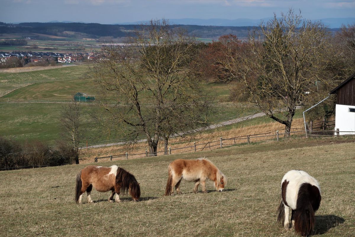
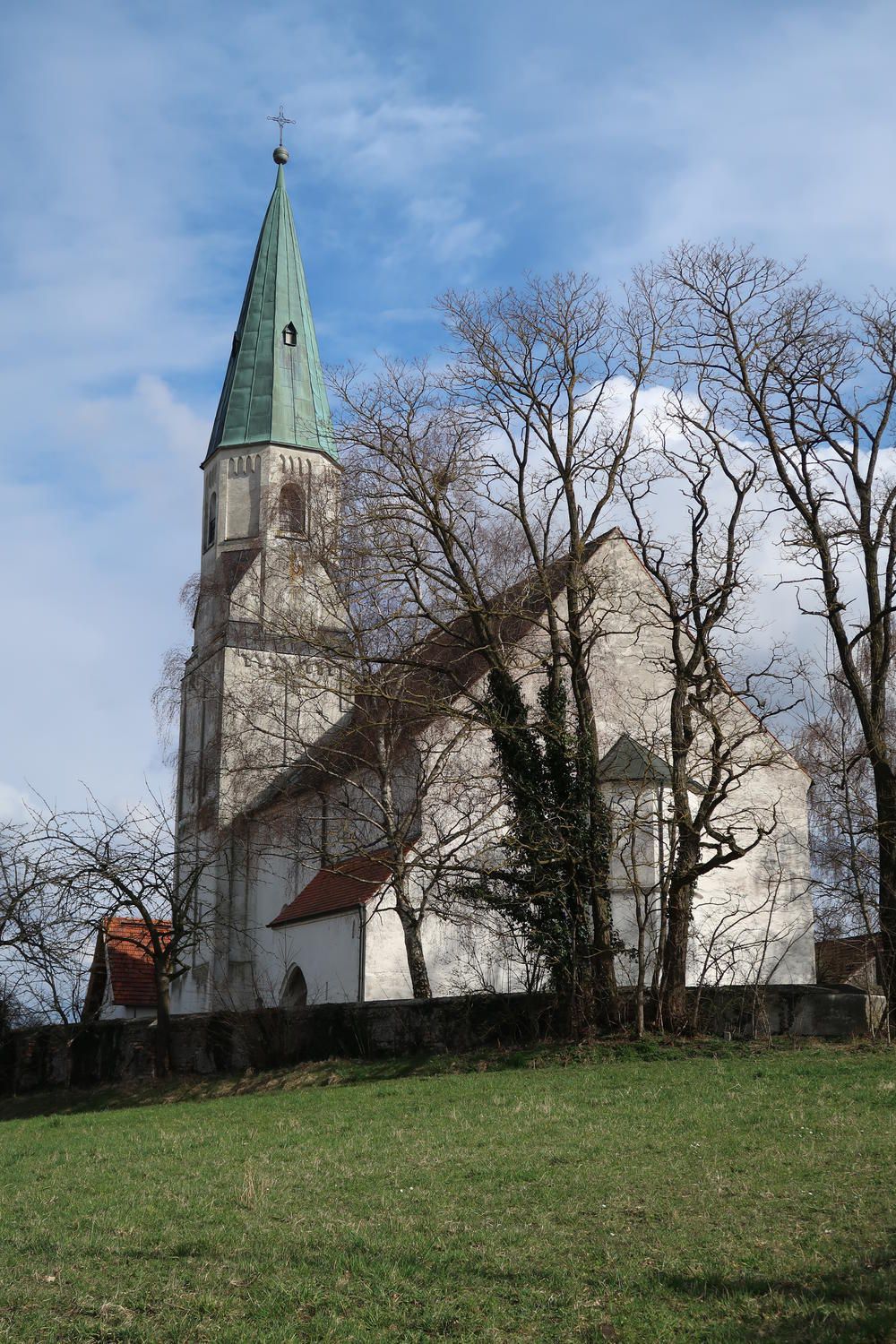
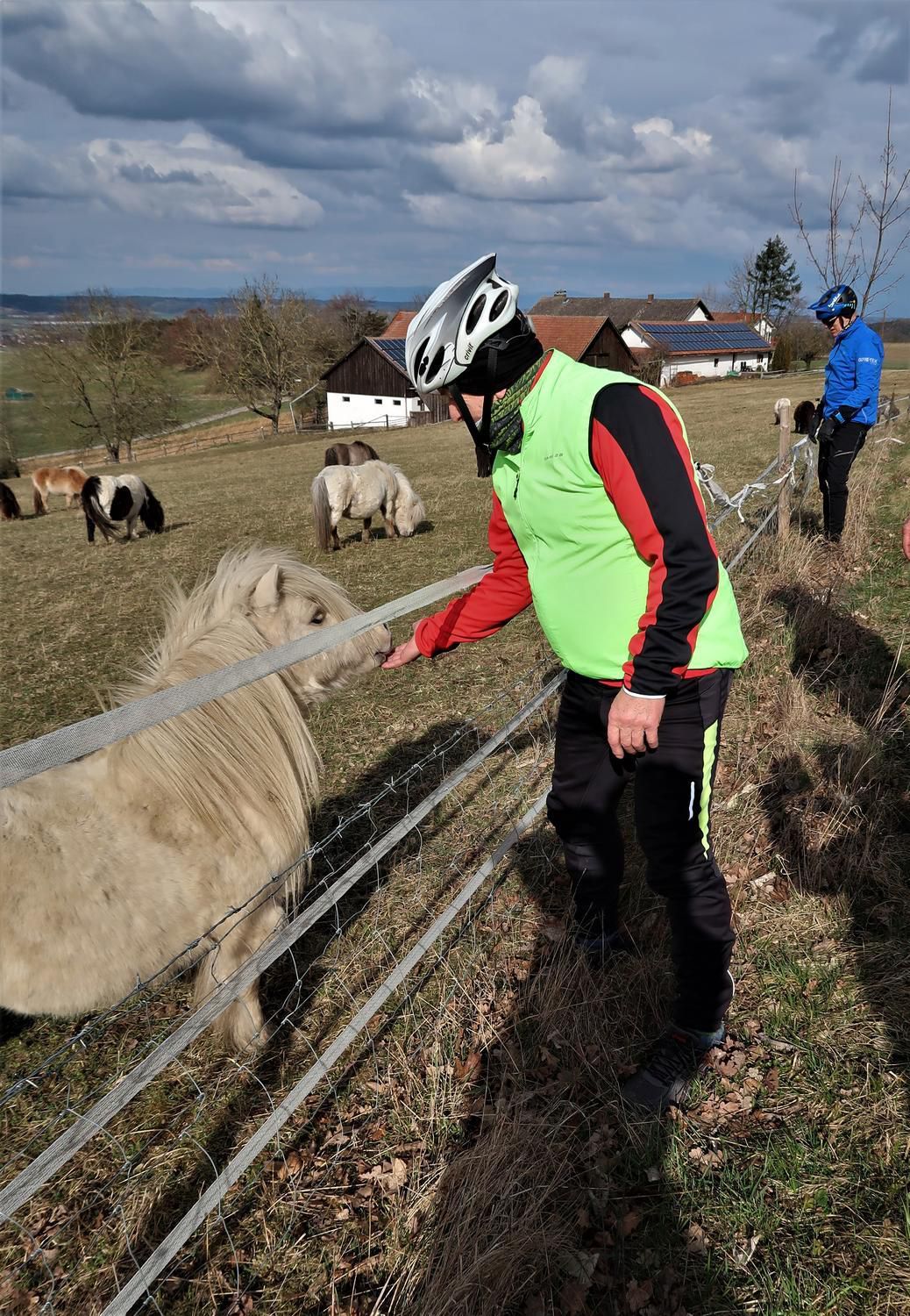
Cycling Route in Wörth an der Isar, Bavaria, Germany

Wörth-Niederviehbach-DGF-Oberdingolfing-Einöd-Oberbubach-Brunnerfeld-Teisbach-Kronwieden-Gummeringerau-Niederviehbach-Wörth

0
Open this route in Bikemap Web

Open this route in Bikemap Web

38 km
Distance
326 m
Ascent
329 m
Descent
-:-- h
Duration
-- km/h
Avg. Speed
--- m
Max. Elevation

About This Route

Von Einöd bis Unterbubach war es nicht so toll, durch Windbruch und Käferholz wurden die Wege mit großen Maschinen ziemlich in Mitleidenschaft gezogen.

This cycling route is ideal for: City bike

You will cycle on the following surfaces: Paved Gravel

Route Photos

Customize this cycling route with the Bikemap route planner.

Make it yours!

You can use this route as a template in our cycling route planner so that you don’t have to start from scratch. Customize it based on your needs to plan your perfect cycling tour.