Premium Badge Download on the App Store Get it on Google Play Turn-by-turn Navigation Offline Maps Bike Type Optimized Routing Premium Maps Custom Bike Computer Export Routes Route Previews Fall Detection Premium Support

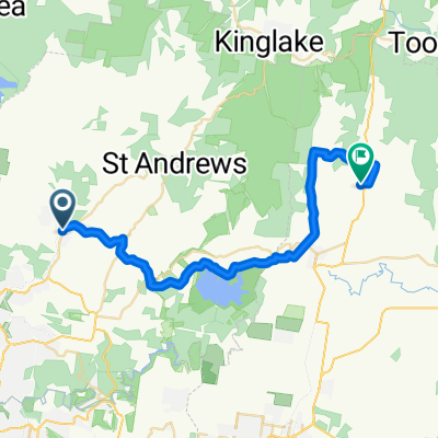
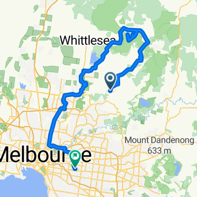
Cycling Route in Hurstbridge, Victoria, Australia

Hurstbridge - Strathewen loop 50km

2
Open this route in the Bikemap app

Open this route in the Bikemap app

Open this route in Bikemap Web

Open this route in Bikemap Web

51 km
Distance
498 m
Ascent
498 m
Descent
4:52 h
Duration
-- km/h
Avg. Speed
--- m
Max. Elevation

About This Route

A mixture of sealed and gravel roads. Gravel roads include Brocks Road, Middle Hut Road, Brennan Roads and Eagles Nest road. There are no shops on this route. Eat your lunch at the Strathewan bushfire memorial site near the oval & tennis courts. Good views, some steep ups & downs

This cycling route is ideal for: MTB

You will cycle on the following surfaces: Gravel

Customize this cycling route with the Bikemap route planner.

Make it yours!

Did you know? You can use this route as a template in our cycling route planner if you don't wish to start from scratch. Customize it based on your needs to plan your perfect cycling tour.

Open it in the app