Premium Badge Download on the App Store Get it on Google Play Turn-by-turn Navigation Offline Maps Bike Type Optimized Routing Premium Maps Custom Bike Computer Export Routes Route Previews Fall Detection Premium Support

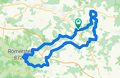
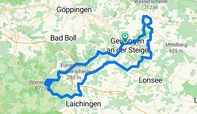
Cycling Route in Geislingen an der Steige, Baden-Württemberg, Germany

Albtraufroute

0
Open this route in the Bikemap app

Open this route in the Bikemap app

Open this route in Bikemap Web

Open this route in Bikemap Web

99 km
Distance
1312 m
Ascent
1309 m
Descent
-:-- h
Duration
-- km/h
Avg. Speed
--- m
Max. Elevation

About This Route

Die Albtraufroute, mit ihrem exakt 100 Kilometer langen Rundkurs, durchläuft 3 bemerkenswerte Landschaften des Landkreises Göppingen. Die Strecke führt durch wunderschöne Landschaften ebenso wie durch Städte und Ortschaften, die mit ihrer Fachwerkarchitektur zum verweilen einladen. Die Strecke ist in beide Richtungen befahrbar und ist wegen ihrer teilweisen Führung auf einer ehemaligen Bahntrassee sehr familienfreundlich.

Customize this cycling route with the Bikemap route planner.

Make it yours!

Did you know? You can use this route as a template in our cycling route planner if you don't wish to start from scratch. Customize it based on your needs to plan your perfect cycling tour.

Open it in the app