Premium Badge Download on the App Store Get it on Google Play Turn-by-turn Navigation Offline Maps Bike Type Optimized Routing Premium Maps Custom Bike Computer Export Routes Route Previews Fall Detection Premium Support

Cycling Route in Baden-Baden, Baden-Württemberg, Germany

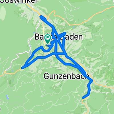
BAD-Merkurgipfel-Lichtental-BAD

0
Open this route in the Bikemap app

Open this route in the Bikemap app

Open this route in Bikemap Web

Open this route in Bikemap Web

16 km
Distance
549 m
Ascent
551 m
Descent
-:-- h
Duration
-- km/h
Avg. Speed
--- m
Max. Elevation

About This Route

Eine schöne bergige Runde vom Baden-Badener Zentrum an der Merkurbahntalstation vorbei hinauf auf den Merkurgipfel. Von dort aus geht es durch den Wald auf Forststraßen hinab am Wildgehege vorbei nach Lichtental. Im Anschluss führt die Route durch die schöne Lichtentaler Allee zurück ins Baden-Badener Zentrum.

This cycling route is ideal for: MTB

You will cycle on the following surfaces: Paved Unpaved Gravel

Customize this cycling route with the Bikemap route planner.

Make it yours!

Did you know? You can use this route as a template in our cycling route planner if you don't wish to start from scratch. Customize it based on your needs to plan your perfect cycling tour.

Open it in the app