Premium Badge Download on the App Store Get it on Google Play Turn-by-turn Navigation Offline Maps Bike Type Optimized Routing Premium Maps Custom Bike Computer Export Routes Route Previews Fall Detection Premium Support

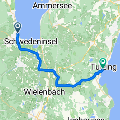
Cycling Route in Dießen am Ammersee, Bavaria, Germany

Transalp 2010

1
Open this route in the Bikemap app

Open this route in the Bikemap app

Open this route in Bikemap Web

Open this route in Bikemap Web

1220 km
Distance
12682 m
Ascent
12822 m
Descent
-:-- h
Duration
-- km/h
Avg. Speed
--- m
Max. Elevation

About This Route

Rennrad-Transalp-Rundreise vom

01. Juli - 09. Juli 2010:

Diessen am Ammersee / Gardasee / Lindau

1. Tag: Diessen Kochel a. See / Mittenwald / Buchener Sattel / Axams

2. Tag: Axams / Kühtai / Rettenbachferner / Timmelsjoch / Pfelders

3. Tag: Pfelders / St. Leonhardt / Meran / Gampenpass / Denno / Andalosattel / Molveno / Sarche / Terlago

(2 Übernachtungen )

4. Tag: Trento / Aldeno /Passo Bordala /Aldeno  / Mt. Bondone / Calavino Terlago

5. Tag: Terlago / Vezzano / Sarche / Arco / Torbole / Gargnano ( Schiff) / Passo San Rocco / Idro See / Bagolino

6. Tag: Bardolino / Passo Croce Domini / Breno / Edolo / Monno / Passo Mortirolo

7. Tag: Passo Mortirolo / Grosio / Bormio / Stilfser Joch

8. Tag: ( Ronda Cime Coppi) Stilfser Joch ( 2 Übernachtungen) / Umbrailpass / Stilfser Joch (Nordseite)

9. Tag: Stilfser Joch / Umbrailpass / Ofenpass / Flüelpass / Davos / Klosters / Bad Ragaz / Bangs

10. Tag: Letztes Teilstück nach Lindau am Bodensee / Rückreise mit Leihwagen

Bemerkung: Die hier angezeigten Höhenmeter liegen aber tatsächlich nur bei ca. 22000m - 23000m. (!)

This cycling route is ideal for: Road bike

You will cycle on the following surfaces: Paved

Customize this cycling route with the Bikemap route planner.

Make it yours!

Did you know? You can use this route as a template in our cycling route planner if you don't wish to start from scratch. Customize it based on your needs to plan your perfect cycling tour.

Open it in the app