Premium Badge Download on the App Store Get it on Google Play Turn-by-turn Navigation Offline Maps Bike Type Optimized Routing Premium Maps Custom Bike Computer Export Routes Route Previews Fall Detection Premium Support

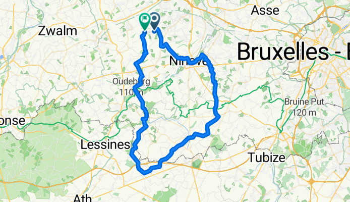
Cycling Route in Herzele, Flemish Region, Belgium

tanktandem

0
Open this route in the Bikemap app

Open this route in the Bikemap app

Open this route in Bikemap Web

Open this route in Bikemap Web

73 km
Distance
602 m
Ascent
603 m
Descent
-:-- h
Duration
-- km/h
Avg. Speed
--- m
Max. Elevation

About This Route

Start- en eindpunt van de route: Ransbeekstraat, 9550 Herzele. Routestatistieken: De totale stijging is 526 meter. De maximum stijging bedraagt 5.82 % en de gemiddelde stijgingsgraad is 0.86 %.

Customize this cycling route with the Bikemap route planner.

Make it yours!

Did you know? You can use this route as a template in our cycling route planner if you don't wish to start from scratch. Customize it based on your needs to plan your perfect cycling tour.

Open it in the app