Cycling Route in Obersiggenthal, Canton of Aargau, Switzerland
Zurich Airport
0

Open this route in the Bikemap app

Open this route in Bikemap Web
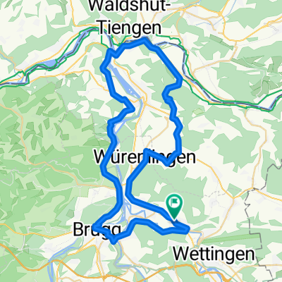
66
km
Distance
Distance
326
m
Ascent
Ascent
323
m
Descent
Descent
-:--
h
Duration
Duration
--
km/h
Avg. Speed
Avg. Speed
---
m
Max. Elevation
Max. Elevation