Premium Badge Download on the App Store Get it on Google Play Turn-by-turn Navigation Offline Maps Bike Type Optimized Routing Premium Maps Custom Bike Computer Export Routes Route Previews Fall Detection Premium Support

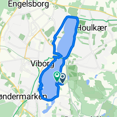
Cycling Route in Viborg, Central Jutland, Denmark

ITU_2020_#2_loop_koldingvej on AllTrails

1
Open this route in the Bikemap app

Open this route in the Bikemap app

Open this route in Bikemap Web

Open this route in Bikemap Web

60 km
Distance
430 m
Ascent
435 m
Descent
-:-- h
Duration
-- km/h
Avg. Speed
--- m
Max. Elevation

About This Route

Statistikkerne er beregnet ud fra de importerede data 1. januar 2010 01:00 CET Afstand: 60,3 km Varighed: 6 timer, 1 minutter og 55 sekunder Gennemsnitshastighed: 10,0 km/t Minimumhøjde over havets overflade: 15 m Maksimumhøjde over havets overflade: 83 m Samlet stigning: 469 m Samlet fald: 472 m

This cycling route is ideal for: Road bike

Customize this cycling route with the Bikemap route planner.

Make it yours!

Did you know? You can use this route as a template in our cycling route planner if you don't wish to start from scratch. Customize it based on your needs to plan your perfect cycling tour.

Open it in the app