Premium Badge Download on the App Store Get it on Google Play Turn-by-turn Navigation Offline Maps Bike Type Optimized Routing Premium Maps Custom Bike Computer Export Routes Route Previews Fall Detection Premium Support

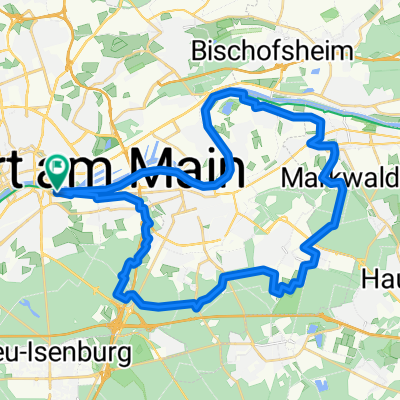
Cycling Route in Frankfurt am Main, Hesse, Germany

FFM-Lokalbahnhof - Seligenstadt - BV-Gronau

0
Open this route in the Bikemap app

Open this route in the Bikemap app

Open this route in Bikemap Web

Open this route in Bikemap Web

56 km
Distance
211 m
Ascent
193 m
Descent
-:-- h
Duration
-- km/h
Avg. Speed
--- m
Max. Elevation

About This Route

FFM-Lokalbahnhof - Heusenstamm - Weiskirchen - Froschhausen - Seligenstadt - am Main entlang bis Dietersheimer Staustufe - Dörnigheim - Bischofsheim - Niederdorfelden - Bad Vilbel-Gronau

Bis auf die Anfangssteigung und kurz vor dem Ende (über die Hohe Straße) sehr flache Tour für MTB oder Tourenräder sehr gut geeignet.

Tour läßt sich abwandeln, in dem man einfach am Main entlang weiter bis Frankfurt fährt und wieder am Ausgangspunkt (S-Bahn) ankommt.

This cycling route is ideal for: MTB

You will cycle on the following surfaces: Paved Gravel

Customize this cycling route with the Bikemap route planner.

Make it yours!

Did you know? You can use this route as a template in our cycling route planner if you don't wish to start from scratch. Customize it based on your needs to plan your perfect cycling tour.

Open it in the app