Cycling Route in Olbernhau, Saxony, Germany
Erzgebirge, Böhmen, Fichtelgebirge, Vogtland
1

Open this route in the Bikemap app

Open this route in Bikemap Web
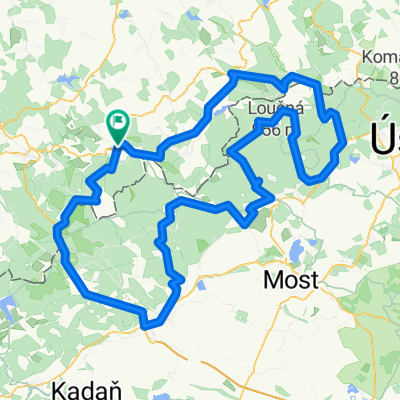
398
km
Distance
Distance
2659
m
Ascent
Ascent
2659
m
Descent
Descent
-:--
h
Duration
Duration
--
km/h
Avg. Speed
Avg. Speed
---
m
Max. Elevation
Max. Elevation