Premium Badge Download on the App Store Get it on Google Play Turn-by-turn Navigation Offline Maps Bike Type Optimized Routing Premium Maps Custom Bike Computer Export Routes Route Previews Fall Detection Premium Support

Cycling Route in Sainte-Croix, Canton of Vaud, Switzerland

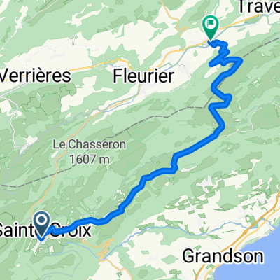
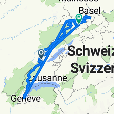
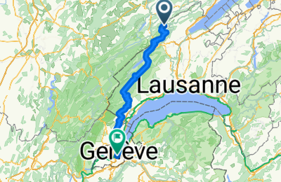
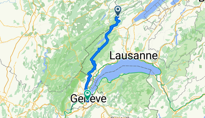
L'Auberson - Genève par la haute chaîne du Jura

0
Open this route in the Bikemap app

Open this route in the Bikemap app

Open this route in Bikemap Web

Open this route in Bikemap Web

111 km
Distance
1069 m
Ascent
1787 m
Descent
-:-- h
Duration
-- km/h
Avg. Speed
--- m
Max. Elevation

About This Route

Longue rando VTT parcourant les crêtes et vallées du Jura vaudois depuis L'Auberson jusqu'à Bassins. Alternance de sections officielles SuisseMobile balisées (Suisse à vélo n°7 et 50, Suisse à VTT n°3 et 996) et de liaisons personnelles. Trafic motorisé absent ou minimal. Ceux qui démarrent plus tôt que moi et veulent moins de goudron peuvent poursuivre sur Jura Bike du Marchairuz à Bassins (Suisse à VTT n°3), plutôt que rouler dans la Combe des Amburnex (Suisse à vélo n°7).

Distance : 112 km

Dénivelé positif : 1400 m

Altitude maximale : 1510 m (Refuge Le Bon Accueil, sous le Mt Tendre)

This cycling route is ideal for: MTB

You will cycle on the following surfaces: Paved Unpaved Gravel

Customize this cycling route with the Bikemap route planner.

Make it yours!

Did you know? You can use this route as a template in our cycling route planner if you don't wish to start from scratch. Customize it based on your needs to plan your perfect cycling tour.

Open it in the app