Cycling Route in Schriesheim, Baden-Württemberg, Germany
Schriesheim - Telschik Turm - Königsstuhl CLONED FROM ROUTE 359746 CLONED FROM ROUTE 381506
1

Open this route in the Bikemap app

Open this route in Bikemap Web
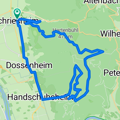
45
km
Distance
Distance
1122
m
Ascent
Ascent
1200
m
Descent
Descent
-:--
h
Duration
Duration
--
km/h
Avg. Speed
Avg. Speed
---
m
Max. Elevation
Max. Elevation