Cycling Route in Biel/Bienne, Canton of Bern, Switzerland
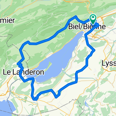
P-Biel/Lengnau/Plagne/Orvin/Evilard (37km)

Open this route in the Bikemap app

Open this route in Bikemap Web
Distance
Ascent
Descent
Duration
Avg. Speed
Max. Elevation
Cycling Route in Biel/Bienne, Canton of Bern, Switzerland
Open this route in the Bikemap app
Open this route in Bikemap Web
Lovely route (all paved). Till Lengnau is flat but it's ok to warm-up, then it starts really nice route and countryside. Most difficult part of the climb is probably the beginning till km 12,5 into nice forest. Other difficult part is Vauffelin at km 18. At Plagne (km 21) starts the downhill: it's quite straight with no turns and you have to control your speed. At the end, short climb to Evilard and downhill to Biel/Bienne. All in all, wonderful route in the area.
TUNNEL: you need lights for your bike !!!
More highlights are available with Bikemap for iOS and Android.
Did you know? You can use this route as a template in our cycling route planner if you don't wish to start from scratch. Customize it based on your needs to plan your perfect cycling tour.
Open it in the app