Premium Badge Download on the App Store Get it on Google Play Turn-by-turn Navigation Offline Maps Bike Type Optimized Routing Premium Maps Custom Bike Computer Export Routes Route Previews Fall Detection Premium Support

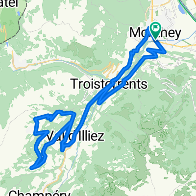
Cycling Route in Monthey, Valais, Switzerland

La Vallée d Abondance

3
Open this route in the Bikemap app

Open this route in the Bikemap app

Open this route in Bikemap Web

Open this route in Bikemap Web

94 km
Distance
1206 m
Ascent
1206 m
Descent
-:-- h
Duration
-- km/h
Avg. Speed
--- m
Max. Elevation

About This Route

Un grand classique qui franchit les frontières et passe du lac Léman aux montagnes du Chablais. Cette boucle peut se pratiquer assez tôt dans la saison, quand les skieurs squattent encore les terrasses de Châtel et de Morgins: cohabitation saugrenue.

La pente n est vraiment raide que dans les derniers km qui mènent au Pas de Morgins comme l indique le profil.


This cycling route is ideal for: Road bike

You will cycle on the following surfaces: Paved

Customize this cycling route with the Bikemap route planner.

Make it yours!

Did you know? You can use this route as a template in our cycling route planner if you don't wish to start from scratch. Customize it based on your needs to plan your perfect cycling tour.

Open it in the app