Premium Badge Download on the App Store Get it on Google Play Turn-by-turn Navigation Offline Maps Bike Type Optimized Routing Premium Maps Custom Bike Computer Export Routes Route Previews Fall Detection Premium Support

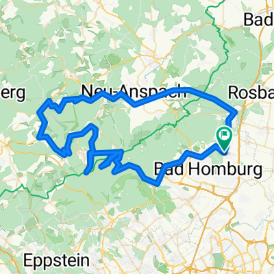
Cycling Route in Friedrichsdorf, Hesse, Germany

2010-11-04-Stadtschlampe-F-Dorf-FFM-F-Dorf

0
Open this route in the Bikemap app

Open this route in the Bikemap app

Open this route in Bikemap Web

Open this route in Bikemap Web

39 km
Distance
126 m
Ascent
126 m
Descent
-:-- h
Duration
-- km/h
Avg. Speed
--- m
Max. Elevation

About This Route

Strecke von Friedrichsdorf zur Ludwig-Erhard-Anlage und zurück nach Friedrichsdorf.

GARMIN-Daten:<br />Trip Odometer 39,60 km<br />Moving Time 2:09 h:min<br />Max. Speed 44,5 km/h<br />Moving Avg. 18,4 km/h<br />Total Ascent 274 m<br />Max. Elevation 198 m

This cycling route is ideal for: Road bike MTB

You will cycle on the following surfaces: Paved

Customize this cycling route with the Bikemap route planner.

Make it yours!

Did you know? You can use this route as a template in our cycling route planner if you don't wish to start from scratch. Customize it based on your needs to plan your perfect cycling tour.

Open it in the app