Cycling Route in Braunau am Inn, Upper Austria, Austria
2020-W18 Simbach
0

Open this route in the Bikemap app

Open this route in Bikemap Web
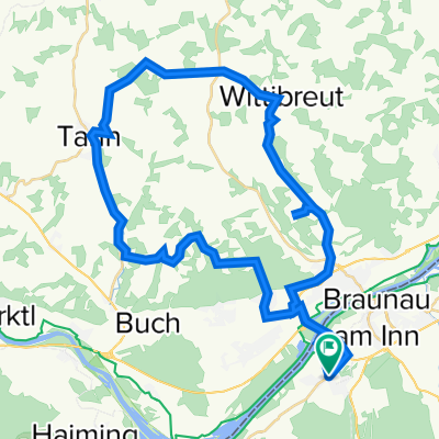
55
km
Distance
Distance
1248
m
Ascent
Ascent
892
m
Descent
Descent
-:--
h
Duration
Duration
--
km/h
Avg. Speed
Avg. Speed
458
m
Max. Elevation
Max. Elevation