Premium Badge Download on the App Store Get it on Google Play Turn-by-turn Navigation Offline Maps Bike Type Optimized Routing Premium Maps Custom Bike Computer Export Routes Route Previews Fall Detection Premium Support

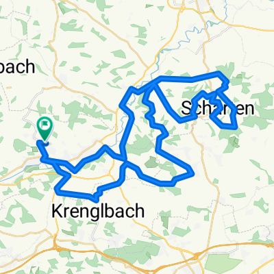
Cycling Route in Bad Schallerbach, Upper Austria, Austria

Bad Schallerbach R17 - R105 Waizenkirchen - R20 Aschachtal bis Hilkering - R18 Eferdinger-Landl - Fraham - R17 Bad Schallerbach

2
Open this route in the Bikemap app

Open this route in the Bikemap app

Open this route in Bikemap Web

Open this route in Bikemap Web

76 km
Distance
927 m
Ascent
937 m
Descent
3:30 h
Duration
22.7 km/h
Avg. Speed
--- m
Max. Elevation

About This Route

This cycling route is ideal for: City bike

You will cycle on the following surfaces: Paved

Customize this cycling route with the Bikemap route planner.

Make it yours!

Did you know? You can use this route as a template in our cycling route planner if you don't wish to start from scratch. Customize it based on your needs to plan your perfect cycling tour.

Open it in the app