Premium Badge Download on the App Store Get it on Google Play Turn-by-turn Navigation Offline Maps Bike Type Optimized Routing Premium Maps Custom Bike Computer Export Routes Route Previews Fall Detection Premium Support

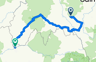
Cycling Route in Paulhaguet, Auvergne-Rhône-Alpes, France

De Vernelle, Chavaniac-Lafayette à Port de Lacombe 501, Flagnac

0
Open this route in the Bikemap app

Open this route in the Bikemap app

Open this route in Bikemap Web

Open this route in Bikemap Web

294 km
Distance
6339 m
Ascent
6980 m
Descent
20:19 h
Duration
-- km/h
Avg. Speed
--- m
Max. Elevation
Customize this cycling route with the Bikemap route planner.

Make it yours!

Did you know? You can use this route as a template in our cycling route planner if you don't wish to start from scratch. Customize it based on your needs to plan your perfect cycling tour.

Open it in the app