Premium Badge Download on the App Store Get it on Google Play Turn-by-turn Navigation Offline Maps Bike Type Optimized Routing Premium Maps Custom Bike Computer Export Routes Route Previews Fall Detection Premium Support

Cycling Route in Untereisesheim, Baden-Württemberg, Germany

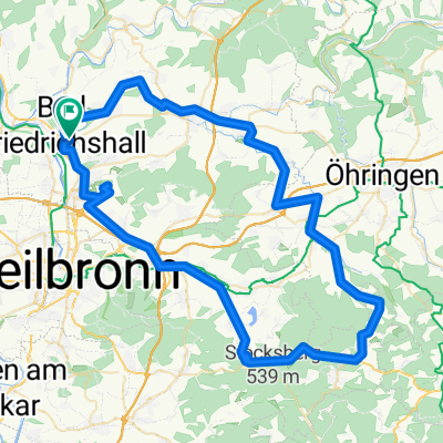
Bad Friedrichshall - Leingarten (GPS)

1
Open this route in the Bikemap app

Open this route in the Bikemap app

Open this route in Bikemap Web

Open this route in Bikemap Web

37 km
Distance
158 m
Ascent
172 m
Descent
-:-- h
Duration
-- km/h
Avg. Speed
224 m
Max. Elevation

About This Route

Kurze Runde:

  • Bad Friedrichhall (Kochendorf)
  • Neckarsulm
  • Heilbronn
  • Böckingen
  • Leingarten
  • Frankenbach
  • Neckargartach
  • Heilbronn
  • Neckarsulm
  • Bad Friedrichhall (Kochendorf)


This cycling route is ideal for: Road bike

You will cycle on the following surfaces: Paved

Customize this cycling route with the Bikemap route planner.

Make it yours!

Did you know? You can use this route as a template in our cycling route planner if you don't wish to start from scratch. Customize it based on your needs to plan your perfect cycling tour.

Open it in the app