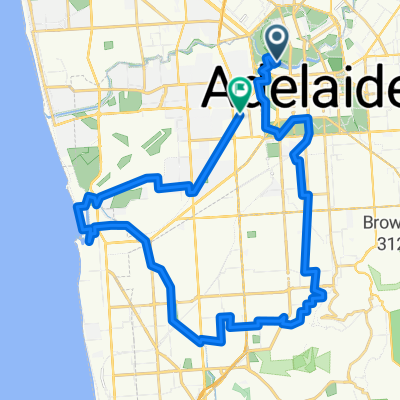
Cycling Route in North Adelaide, South Australia, Australia
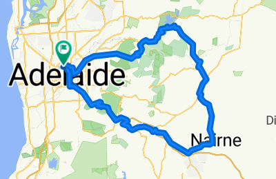
Day 6_T/T_Doughnuts in Hahndorf Ride
1
Open this route in the Bikemap app

Open this route in Bikemap Web
106
km
Distance
Distance
1157
m
Ascent
Ascent
1157
m
Descent
Descent
-:--
h
Duration
Duration
--
km/h
Avg. Speed
Avg. Speed
---
m
Max. Elevation
Max. Elevation