Premium Badge Download on the App Store Get it on Google Play Turn-by-turn Navigation Offline Maps Bike Type Optimized Routing Premium Maps Custom Bike Computer Export Routes Route Previews Fall Detection Premium Support

Cycling Route in Geislingen an der Steige, Baden-Württemberg, Germany

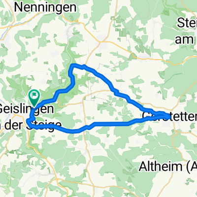
Bike-Tour Geislingen -Schinders Klinge - Vögelestal

1
Open this route in the Bikemap app

Open this route in the Bikemap app

Open this route in Bikemap Web

Open this route in Bikemap Web

27 km
Distance
850 m
Ascent
699 m
Descent
-:-- h
Duration
-- km/h
Avg. Speed
681 m
Max. Elevation

About This Route

Die Mountainbike-Tour startet und endet beim TVA in Geislingen. Es geht über die Schinders Klinge nach Weiler. Von dort durch den Ziegelwald vorbei am Mühltalfelsen nach Amstetten. Dann durchs Vögelestal nach Türkheim und auf der alten Türkheimer Steige zurück zum Ausgangspunkt.

This cycling route is ideal for: MTB

You will cycle on the following surfaces: Paved Unpaved Gravel

Customize this cycling route with the Bikemap route planner.

Make it yours!

Did you know? You can use this route as a template in our cycling route planner if you don't wish to start from scratch. Customize it based on your needs to plan your perfect cycling tour.

Open it in the app