Premium Badge Download on the App Store Get it on Google Play Turn-by-turn Navigation Offline Maps Bike Type Optimized Routing Premium Maps Custom Bike Computer Export Routes Route Previews Fall Detection Premium Support

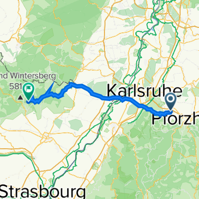
Cycling Route in Königsbach-Stein, Baden-Württemberg, Germany

Remchingen, Langenbrand, Dobel, Bad Herrenalb, Kaltenbronner Wand, Remchingen

1
Open this route in the Bikemap app

Open this route in the Bikemap app

Open this route in Bikemap Web

Open this route in Bikemap Web

135 km
Distance
2933 m
Ascent
2796 m
Descent
-:-- h
Duration
-- km/h
Avg. Speed
930 m
Max. Elevation

About This Route

Reine Bergetappe, über die Schafrichter Dobel und Kaltenbronner Wand. Super zum Training z.B.für den Ötztaler geeignet! Leider auch reger Verkehr an schönen Wochenenden ( Motorradfahrer ).

This cycling route is ideal for: Road bike

You will cycle on the following surfaces: Paved

Customize this cycling route with the Bikemap route planner.

Make it yours!

Did you know? You can use this route as a template in our cycling route planner if you don't wish to start from scratch. Customize it based on your needs to plan your perfect cycling tour.

Open it in the app