Premium Badge Download on the App Store Get it on Google Play Turn-by-turn Navigation Offline Maps Bike Type Optimized Routing Premium Maps Custom Bike Computer Export Routes Route Previews Fall Detection Premium Support

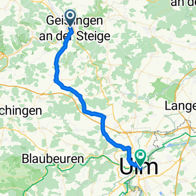
Cycling Route in Geislingen an der Steige, Baden-Württemberg, Germany

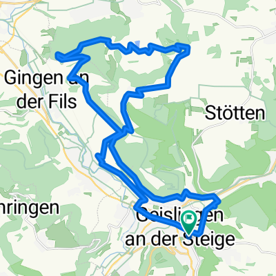
Geislingen - Kaltes Feld - Grünenberg

1
Open this route in the Bikemap app

Open this route in the Bikemap app

Open this route in Bikemap Web

Open this route in Bikemap Web

60 km
Distance
1040 m
Ascent
1018 m
Descent
-:-- h
Duration
-- km/h
Avg. Speed
677 m
Max. Elevation

About This Route

Hügelige Rennrad-Runde von Geislingen über Treffelhausen und Weißenstein nach Degenfeld. Von dort Aufstieg zum Flugplatz Kaltes Feld. Dann Abfahrt nach Weilerstoffel und erneuter Aufstieg zur Reiterleskapelle. Über Nenningen und Donzdorf nach Gingen. Dann der vierte Aufstieg zum Grünenberg. Über Hausen und Bad Überkingen zurück. Fast eine Pflichtübung ist der Einkehrschwung in Bad Überkingen ins Cafe am Mühlbach. Dort zu empfehlen: Cappucino mit Zwetschgendatschi :-)

This cycling route is ideal for: Road bike

You will cycle on the following surfaces: Paved

Customize this cycling route with the Bikemap route planner.

Make it yours!

Did you know? You can use this route as a template in our cycling route planner if you don't wish to start from scratch. Customize it based on your needs to plan your perfect cycling tour.

Open it in the app