

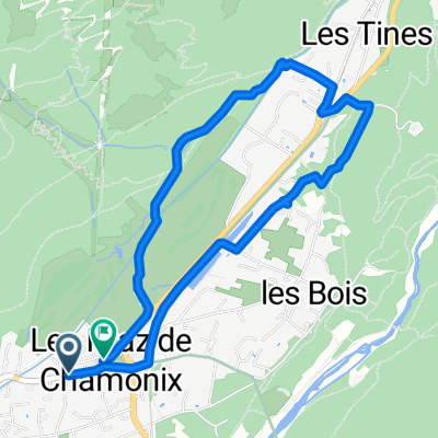
passy
A cycling route starting in Chamonix, Auvergne-Rhône-Alpes, France.
Overview
About this route
- -:--
- Duration
- 50.6 km
- Distance
- 722 m
- Ascent
- 722 m
- Descent
- ---
- Avg. speed
- ---
- Max. altitude

Route quality
Waytypes & surfaces along the route
Waytypes
Road
21.2 km
(42 %)
Quiet road
5.6 km
(11 %)
Surfaces
Paved
47 km
(93 %)
Asphalt
47 km
(93 %)
Undefined
3.5 km
(7 %)
Continue with Bikemap
Use, edit, or download this cycling route
You would like to ride passy or customize it for your own trip? Here is what you can do with this Bikemap route:
Free features
- Save this route as favorite or in collections
- Copy & plan your own version of this route
- Sync your route with Garmin or Wahoo
Premium features
Free trial for 3 days, or one-time payment. More about Bikemap Premium.
- Navigate this route on iOS & Android
- Export a GPX / KML file of this route
- Create your custom printout (try it for free)
- Download this route for offline navigation
Discover more Premium features.
Get Bikemap PremiumFrom our community
Other popular routes starting in Chamonix
 Route des Praz, Chamonix-Mont-Blanc to Chemin des Cimes, Chamonix-Mont-Blanc
- Distance
- 4.8 km
- Ascent
- 116 m
- Descent
- 107 m
- Location
- Chamonix, Auvergne-Rhône-Alpes, France
 Argentiere to Chatelard-Frontiere
- Distance
- 11.1 km
- Ascent
- 284 m
- Descent
- 417 m
- Location
- Chamonix, Auvergne-Rhône-Alpes, France
 Aiguilettes des posettes - Endurance update
- Distance
- 13 km
- Ascent
- 981 m
- Descent
- 986 m
- Location
- Chamonix, Auvergne-Rhône-Alpes, France
 Ultimate Étapes, Stage 15: Cycling's Greatest Climb
- Distance
- 200.5 km
- Ascent
- 4,571 m
- Descent
- 3,759 m
- Location
- Chamonix, Auvergne-Rhône-Alpes, France
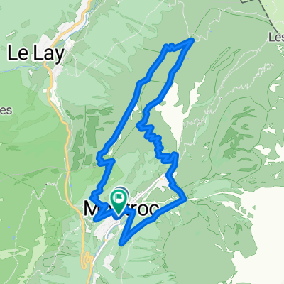
 Col de Balme, Col des Posettes Loop
- Distance
- 49.8 km
- Ascent
- 1,411 m
- Descent
- 1,413 m
- Location
- Chamonix, Auvergne-Rhône-Alpes, France
 139 Route des Drus, Chamonix to 24 Chemin des Murailles, Chamonix
- Distance
- 28.8 km
- Ascent
- 653 m
- Descent
- 1,706 m
- Location
- Chamonix, Auvergne-Rhône-Alpes, France
 Avenue Michel Croz, Chamonix to Chemin Gabriel Loppé, Chamonix
- Distance
- 24.6 km
- Ascent
- 458 m
- Descent
- 456 m
- Location
- Chamonix, Auvergne-Rhône-Alpes, France
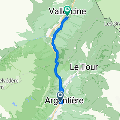 Argentiere to Vallorcine
- Distance
- 7.6 km
- Ascent
- 260 m
- Descent
- 240 m
- Location
- Chamonix, Auvergne-Rhône-Alpes, France
Open it in the app